
New Braunfels Ground Control Points
Need Ground Control Points set in New Braunfels?
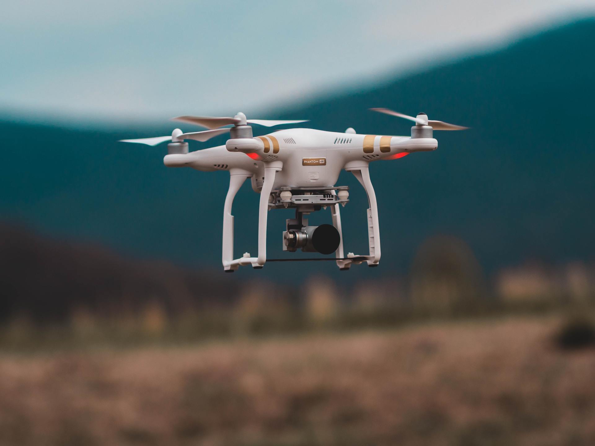
Ground control points are useful in improving accuracy in projects like drone and UAV photography
Total Geo Data can assist you by setting precise markers, both temporary or permanent, as well as providing you with accurate coordinates to properly scale your data. We also offer guidance on State Plane Coordinates and creating project specific coordinate systems.
Get a free quote
Contact Us
When are precise ground control points required?
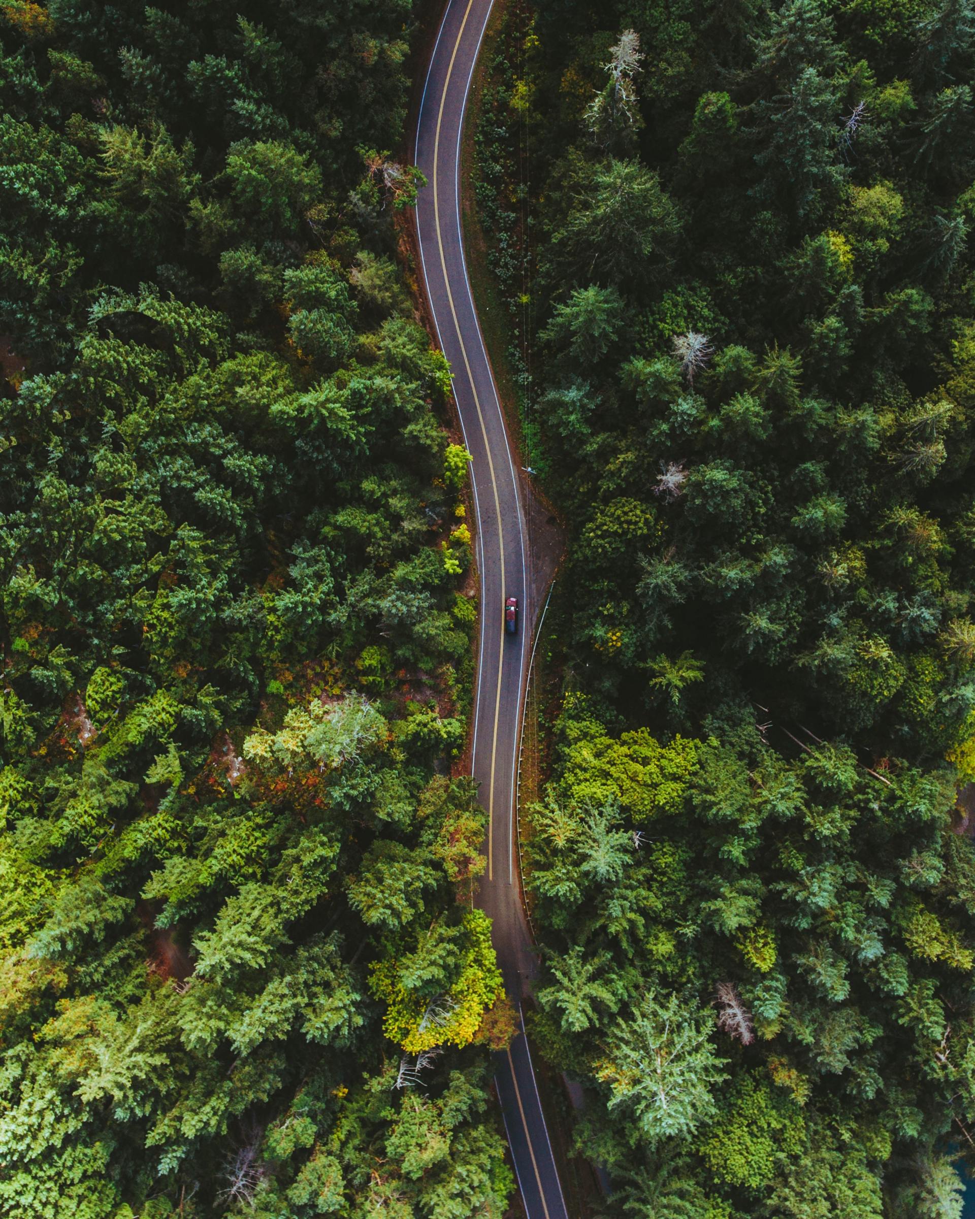
- UAV Mosiac Photos
- Lidar Scanning Projects
- Photogrammetry Projects
- Drone Orthophoto
- Aerial Photography